The alpha, twice a week
That was 4 min.
Get the best new moments in your inbox every Wednesday and Saturday. It's free.
Check your inbox
We sent a link to your address. Click it to finish signing up. Not there in a minute? Look in spam.
or
Sourcery · 4 min · Nov 9, 2026
AI can make satellite imagery searchable in plain language
 Will Marshall
 shows how an LLM can search a decade of Earth imagery and compare changes, including at Area 51.
The episode’s best minutes
Full analysis- 8:39Consumer electronics made satellite miniaturization 1,000x cheaper3 min
- 27:31Perfect reliability can mean you are not pushing far enough3 min
- 33:04AI can make satellite imagery searchable in plain languagePro pick 4 min
- 3 more moments in the full episode
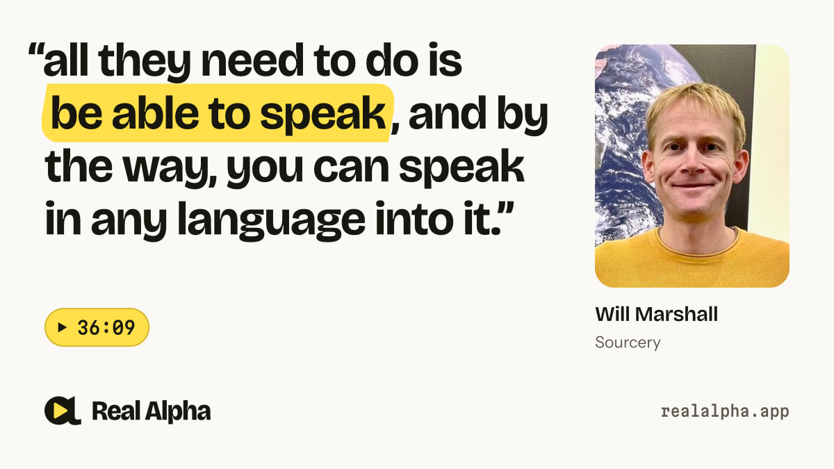
“all they need to do is be able to speak, and by the way, you can speak in any language into it.”
 Will Marshallat 36:09 · Sourcery
Takeaways Pro pick
- The system can search imagery across Earth in under a second.
- Users can ask questions about places and changes over time.
- The interface aims to serve farmers, journalists and other non-experts.
One of Pro's picks, open to you here. Try Pro free for 7 days
One of Pro's picks. The rest of the summary and the 3 takeaways are in Real Alpha Pro; the video, the quote and the transcript stay free.
Read it with Pro, 7 days freeAbout this segment
Will Marshall shows how an LLM can search a decade of Earth imagery and compare changes, including at Area 51. The goal is to make geospatial data useful beyond specialist users.

Will Marshall is cofounder and CEO of Planet Labs.
Co-founded Planet and leads its Earth-imaging satellite network, after developing low-cost spacecraft at NASA/USRA.

Molly O'Shea, Host · Founder, Sourcery
Ex-Upfront Ventures investor; has interviewed Alex Karp and Palmer Luckey.
From “Inside Planet Labs (NYSE: $PL): Satellites, Planet AI & Area 51”, Nov 9, 2026. Watch the full episode
Thanks. We'll look at and fix what's off.
Transcript
Transcribed by machine (Whisper) from the episode’s audio, so a word may be off here and there.
- 33:16
What do you want to have, but the coolest thing before we do that is not only that we can zoom in, is that we can ask it questions and we have tied an LLM to the back end. So LLMs really only trained on the techs of the internet, so they didn't know much of the real world. We have all the real world and we make them together and then you have a system that can understand all of human knowledge and tap into real world stuff.
- 33:40
So what does that mean? It means if you're a farmer and you want to understand your crop yields, a normal LLM chat is going to tell you about the theory of agriculture but he doesn't know shit about your field, but the farmer, he or she wants to know about their field. So this can tell you about that and can help crop yields. Or if you're a journalist trying to understand and report on some physical event, like a flood or a fire or something, it can go and tell you about that flood or fire. And it can search the entire earth in under a second it can see changes over time it can plot graphs so like this is just an example we were looking earlier we were I guess somebody was asking but you can actually just ask it yourself so this is just a visual it gave of some deforestation that it was showing I asked it earlier your question of what
- 34:35
happened in the last 24 hours show me some changes I actually haven't got that here, I've got my computer. But it found a fire in Yosemite. It found a flood that caused a load of crap falling into a river. It found all sorts of things around the world. It was like a daily planet report, if you like. But anyway, we can ask it any questions. So what do you want to ask about? Let's go to Area 51. Let's go to Area 51.
- 35:07
Anything in particular you want to know about it? Let's see the changes over the last five years. Show us the changes there over the last five years. So it's going to zoom in there on Area 51. Now it's going to start to compare 21 to 2026, as you asked. This is a compare. Obviously, it's waiting for the data to load here. showing some changes over time if we zoom in oh we can actually zoom in on that image we can try and see changes so oh we can't zoom in like that but I see but basically this is a structural level something changed in that I don't know what that look there's a black oh my gosh I actually don't know what that is you would see plane movements and stuff you see there were two planes on there and they're gone.
- 36:00
The particular zoom level, you can get a sense of what it can do. It's still early phase, but our point is to open up geospatial data to not just the satellite imagery experts. It used to be the case that NASA could get value out of this, the NRO could get value out of this, but a farmer, that journalist, that what have you, can't get value. Now, anyone can go and play with this, because all they need to do is be able to speak, and by the way, you can speak in any language into it.
- 36:25
I mean, just LLM, it takes in LLM. And so, yeah, I mean, that's the power of AI and satellite data put together. Amazing. So you build this internally. Did you have to bring in a separate team? How did you create all this? No, we just have a couple of engineers